
We have both good and bad news tonight about the wildfire. First, the good news, the flames have not gone over Southridge into the town below. The bad news, the fire is still burning northward into the wilderness toward San Jacinto Peak. As of today, 27,000 acres have been effected.There was fear today that the predicted weather patterns would bring unwanted winds. This was not the case.

This photo was taken the day we evacuated Idyllwild. It shows the barrier, Southridge and at the top of the mountain peak, Tahquitz Peak, stands the Tahquitz Fire Look out tower that those of us who are lookout hosts have been concerned it would be consumed by flames.So far, it has been spared.

To the left of the 100 year old Tahquitz Lookout Tower is the town of Idyllwild, to the right is the destructive fire that is spreading up the wilderness.

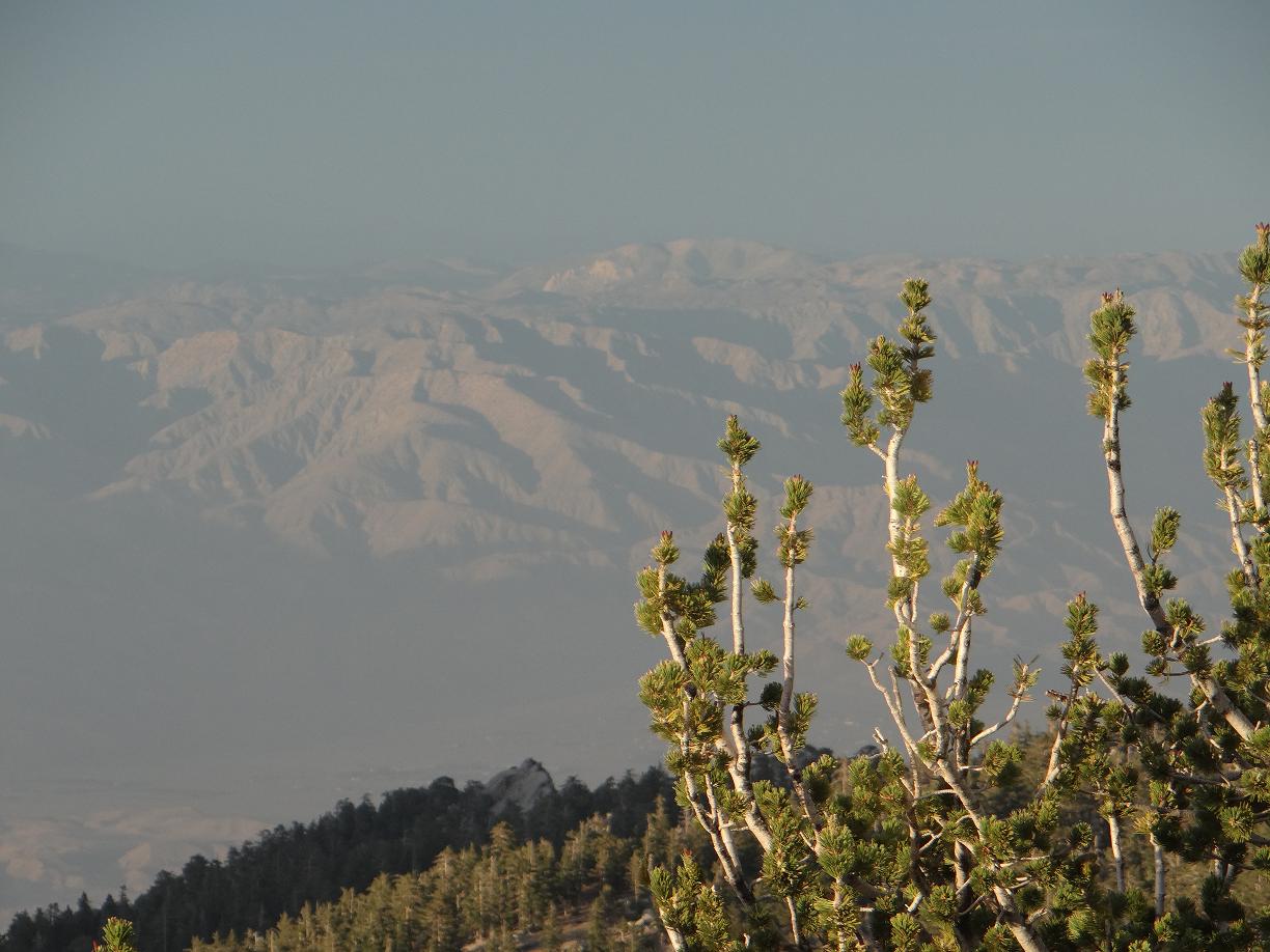
This photo was taken from the tower a few weeks ago. You are facing southeast where the fires are burning.
This photo was also taken from the tower. It faces east towards the Palm Springs area.The fire spread down this mountain. Endangered Bighorn sheep are one of the animals in danger from this event.

This meadow, Tahquitz Meadow, is close to the tower. When we walked through this meadow recently, we were surprised at how lush and green these ferns were despite the drought. Some of the ferns reached our chest. It was beautiful. We have been told the fires have gone through this area.For those who like to hike or backpack up in this wilderness, they will be devastated. Much of our volunteer Wilderness Ranger work is done here and nearby where the fire is active.The Pacific Crest Trail, PCT, which goes from Mexico to Canada passes through here.

This area is north of the tower. It is called Wellman's Cienega. Cattle were brought up here in years past to graze. I have learned this is where the flames are headed. To the right of the picture, the fire is progressing. To the left of the picture is Idyllwild down in the valley.The planes have "painted the mt red" along this ridge to protect the town.The flame retardant that is released from the planes is red.

This is a view from Southridge down to Lake Hemet where the water dropping helicopters have been scooping up the water to fight the fire. This photo was taken before the fires began while we were hiking up Southridge to the the lookout tower.

Across the road from Lake Hemet is Garner Valley where firefighters are now camped.


These are views from Garner Valley before the wildfire began.


These are the latest maps from July 19th which show the progression of the fire.
Only a few of our dear friends and family have been able to come visit us here. I hope this entry gives those of you who have not yet come some insight to this beautiful land that is being changed before our very eyes.
Please continue to keep the firefighters, the wilderness and all the living creatures who make it their home and those who are impacted by this disaster in your prayers. We thank all of you who have sent us words of encouragement and support. We feel your love and it helps tremendously.
UPDATE SAT JULY 20
There is a lot of cloud cover and high humidity which is slowing the progress of the fire. They have contained the southern end of the fire. The main focus will be from the North and West. They are sending two hotshot crews of firefighters up the Tram to Mt San Jacinto to attack from the north in the back country.This cable car goes up the mt from Palm Springs.
They have built a fire line along South Ridge to prevent it from going over the ridge into Idyllwild.